¶ Generalities
The Global Positioning System (GPS) permits earth-centered coordinates to be determined and provides the aircraft position referenced to the World Geodetic System. Satellite navigation systems are unaffected by weather and provide global navigation coverage that fully meet the civil requirements for use as the primary means of navigation in oceanic airspace and certain remote areas.
Navigational values, such as distance and bearing to a waypoint and groundspeed, are computed from the aircraft's current position (latitude and longitude) and the location of the next waypoint. Course guidance is provided as a linear deviation from the desired track of a Great Circle route between defined waypoints.
GPS operation is based on the concept of ranging and triangulation from a constellation of satellites in space which act as precise reference points. The receiver uses data from a minimum of four satellites above the mask angle (the lowest angle above the horizon at which it can use a satellite).
¶ GPS receiver
¶ Basic receivers
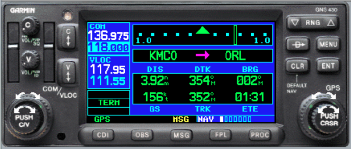
Garmin GNS430 is one of the basic GNSS systems used in general aviation.

¶ Advanced receiver
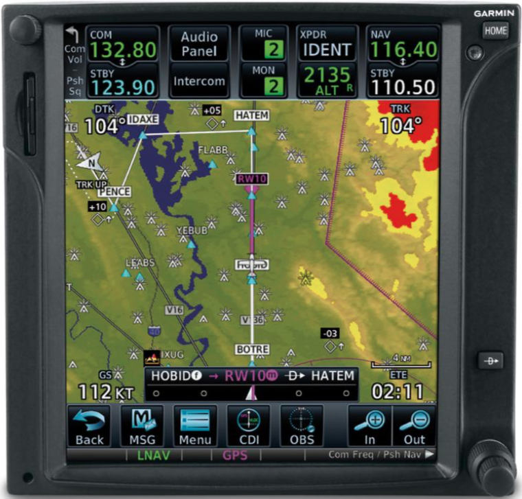
With the Garmin GTN750, we have a larger screen with much information depicted on screen which is a touchscreen with many configuration menus and it can include an extensive chart database.

¶ Receiver on liners
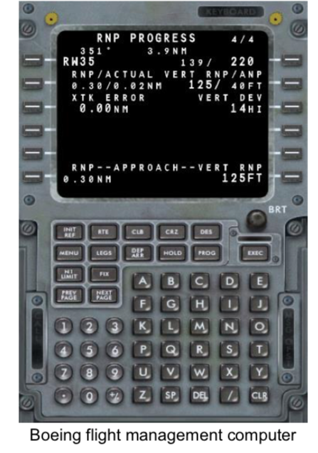
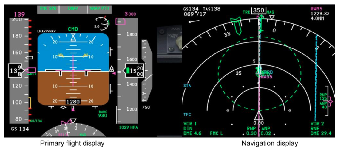
With the introduction of GNSS inside the flight management computer onboard of the commercial aircraft, the information is given by two means:
- Flight management computer: Entering data using keyboard and display text and data calculated using GNSS and various information
- Primary flight display and navigation display: Displays on larger screen positioning data and different values calculated with conventional means and GNSS data, route. Also displays primary flight parameters (attitude, speed, altitude, vertical speed, heading...)


- None
- None
- VID 150259 - Creation
- VID 450012 - Update
- VID 496402 - Wiki.js integration