¶ Introduction
Increasing demand for helicopters and the advancing technology leads authorities to develop special departure and approach procedures for helicopters. Especially the extra manoeuvrability helps them to achieve safe departures and approaches in poor weather conditions with steep angles.
Helicopter pilots are required to comply with all procedures published for aeroplanes, but if in national AIP's there are additional published procedures for helicopters, it is pilots responsibility to check them prior to flight.
¶ Standart Instrument Approach and Departure Charts
If requested by ATC, helicopter pilots are obliged to comply with all necessities stated in standart departure and approach procedures. Since helicopters fly with relatively lower speeds than aeroplanes without stalling, they are categorized as CAT A.
While using a standart instrument approach chart, use the CAT A section to determine your MDA/DA.
To meet the visibilty requirements of the CAT A minima, the speed on the final approach segment must be reduced to the Category A speed of less than 90 KIAS before the MAP.
¶ Helicopter Instrument Approach and Departure Charts
These charts are labeled as "COPTER ONLY" charts and specially designed for helicopters. The approach charts provide an advantage over a conventional ILS with shorter final segments and lower minimums.
Departure charts help to separate helicopters and aeroplanes flying in the TMA.
There are also Copter approaches with minimums as low as 100 feet which are intended to use the manoeuvrability of helicopters. These charts with lower minimums require special care and are usually restricted to more experienced flight crews and approved helicopters in the means of avionics.
¶ Helicopter Route Charts
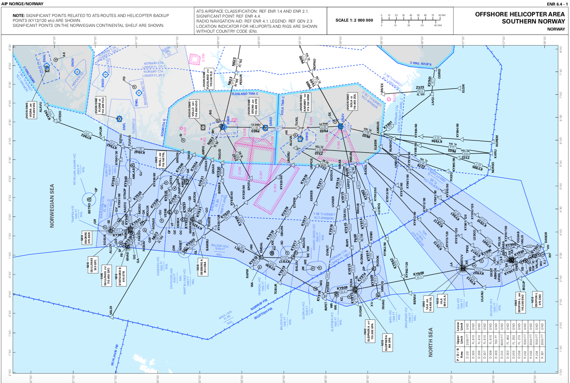
Helicopter Route Charts depict current aeronautical information useful to helicopter pilots navigating in areas with high concentrations of helicopter activity. They are specially designed for helicopters and very similar to VFR route charts.
Information depicted includes helicopter routes, heliports with associated frequency and lighting capabilities, NAVAIDS and obstructions. In addition, pictorial symbols, roads and easily-identified geographical features may be portrayed.

- VID 522050 - Creation
- VID 496402 - Wiki.js integration